

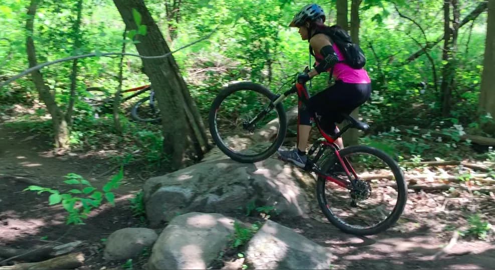
The Ontario request list starts with The Hydrocut. It is the only Ontario network currently in Berm's live park catalog, so I am keeping this update to the place we have actually mapped rather than padding the post with names that are not ready.
The new guide joins the Glasgow and Snyder's Road trailheads to Berm's map, with the official paper map, access notes and a direct view of the 50 trail segments currently in the database.
The Hydrocut
Kitchener · Waterloo Region, Ontario
The Hydrocut is a roughly 35-kilometre singletrack network with far more texture than a flat trail count suggests. Berm currently maps 50 official segments across the two sides, mixing quick bermed turns with boardwalks, bridges, armoured rock, switchbacks and short technical options. It is a place to build loops rather than follow one signed top-to-bottom run.
Access is free and the trails are maintained by the Waterloo Cycling Club trail committee, with donations supporting the work. There is no fixed lift-style operating calendar: check The Hydrocut's live condition status before every ride and stay off the network when closures or wet ground say so.
Planning a trip here?
Take Berm with you.
Save the park, keep the trail map close and track every lap with Berm.